The 5200-acre Wildlands preserve encompasses small mountain peaks, numerous streams and frontage on the Dead River and Hothole Pond. A network of gravel roads are open to walking, running, biking, horseback riding and snowmobiling. Foot and bike trails, easy to strenuous, will bring you to special views and other places off the beaten path. Access is free.
In the Biodiversity Protection Zone, wildlife habitat is the priority. Please walk your dog on one of the many other trails in the Wildlands.
-
- Interactive Google Map (see below; on some mobile phones, the map shows your current location and can advisedly be used for navigation in those areas of the Wildlands with cell coverage. Not all trails are shown.)
Five Trailheads:
Please access the Wildlands only from these trailheads. The Wildlands is surrounded by many private property owners who value their privacy.
South Trailhead
-
- Street/ GPS address: 1574 Acadia Highway, Orland, ME or H999+675
- Link to Map
- w3w address
North Trailhead:
-
- Street/ GPS address: 1387 Bald Mountain Rd, Orland, ME or J9H2+RQ
- Link to Map
- w3w address
Dead River Trailhead:
-
- Street/ GPS address: 24 Don Fish Trail, Orland, ME or H8V6+5J
- Link to Map
- w3w address
Mountain Trailhead:
-
- Street/ GPS address: 70 Don Fish Trail, Orland, ME or H8W9+9MH
- Link to Map
- w3w address
Dead River West Trailhead:
-
- Street/ GPS address: 445 Mast Hill Road, Bucksport, ME or J7CX+W89
- Link to Map
- w3w address
Information Links and Guidelines
Birding: The Wildlands is home to more than 150 bird species. Bird list and other information.
Camping: We have three fee, reservation-only, walk- in, bike-in, paddle-in campsites: Mitchville, Baker Brook, and Cedar.
Hiking: Two hiking-orientated maps are available as downloads or from the office.
Dogs: Allowed on leash only; please protect the wildlife! Thanks for removing feces from trails, roads and parking lot. Please note: Dogs are not allowed in the Wildlife Protection Zone, a roughly 1000-acre area where the management priority is protecting wildlife habitat. It includes Hothole Brook, Hothole Pond, Coywolf, Bump Hill, and Birding Trails. There are many ground-nesting birds, turtles, porcupines and other mammals who are compromised by the presence of dogs.
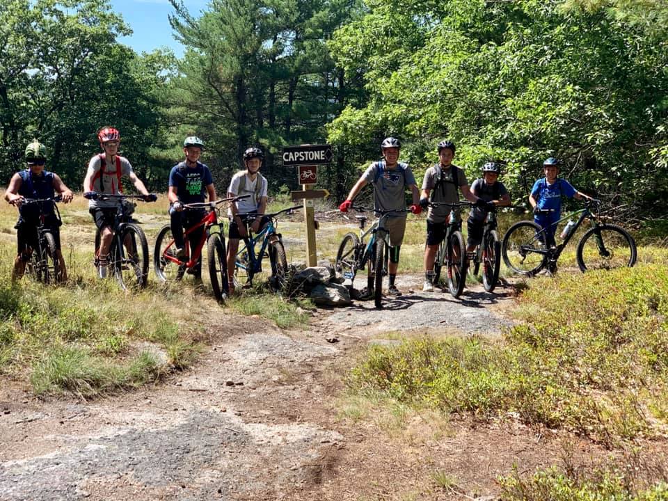
Mountain Biking: Please stay on multi-use trails, including the 2 mountain bike-specific trails:
- Popple Grove: .3-mile beginner loop, in .25-miles from the South Gate
- Capstone Trail: this purpose built trail network continues to expand and currently has 4.5 miles of the best trail in the area! Riders will find lots of flavor with berms, rock drops, fast descents and old school feel. Approach from Dead River parking lot/ trailhead either by riding the Dead River road to Connector trail, or Don Fish Road to Connector trail south, which starts at the Mountain Trailhead with the Stuart Gross hiking trail, but immediately bears left to the Connector climbing trail.
Horseback riding: Multi-use gravel roads and the Hillside Trail are open to horses. Please avoid foot-travel-only trails. Remove droppings from parking lots. Limited horse trailer parking is available at the South Trailhead, depending on the number of other vehicles. When the gate is open (on a limited schedule annouced in the spring) parking is available along the Valley Road or at other designated places. Parking is usually available at the Dead River Trailhead and always available at the Craig Brook National Fish Hatchery. Riding groups, please call or e-mail to notify us of a large group ride.
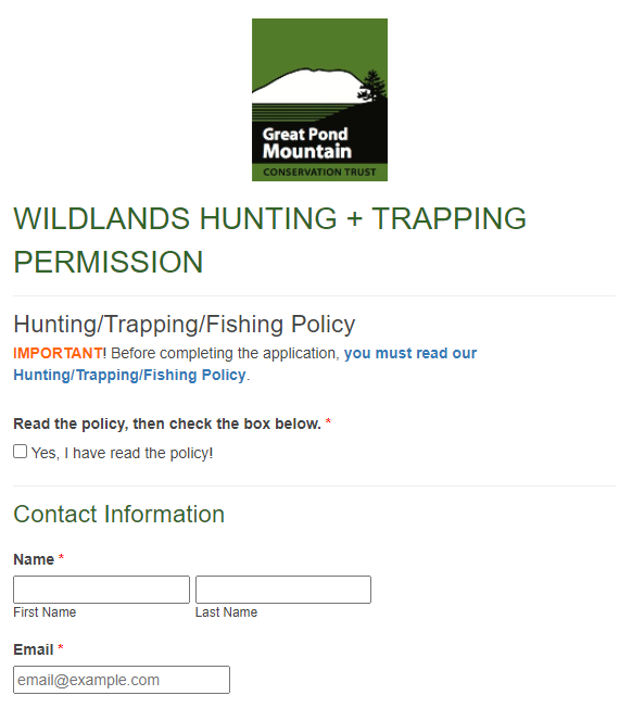 Hunting, Fishing & Trapping: For information about hunting in the Wildlands and to request permission, fill out this form. Trappers: contact Steward. Please carry your permission form with you in the Wildlands. Hunting, Fishing and Trapping Info & Policy
Snowmobiles are welcome on designated trails. Map is available from Bucksport Family Snowmobile Club.
Groups: If your group wants to have the gates opened or to use the property in a way other than what’s listed above, please contact us.
Off-road vehicles: No ATVs, drones, dirt bikes or other off-road vehicles (other than snowmobiles in winter) are allowed. Thank you for complying and helping us protect the sensitive wildlife habitat.
Foraging and berry-picking: Raspberries and blueberries are plentiful in July and early August; blackberries ripen in August. Please only harvest for personal consumption. Please do not remove wildflowers or other plants, animals or animal remains.
Keep the Wildlands wild! Take only pictures and leave only footprints!